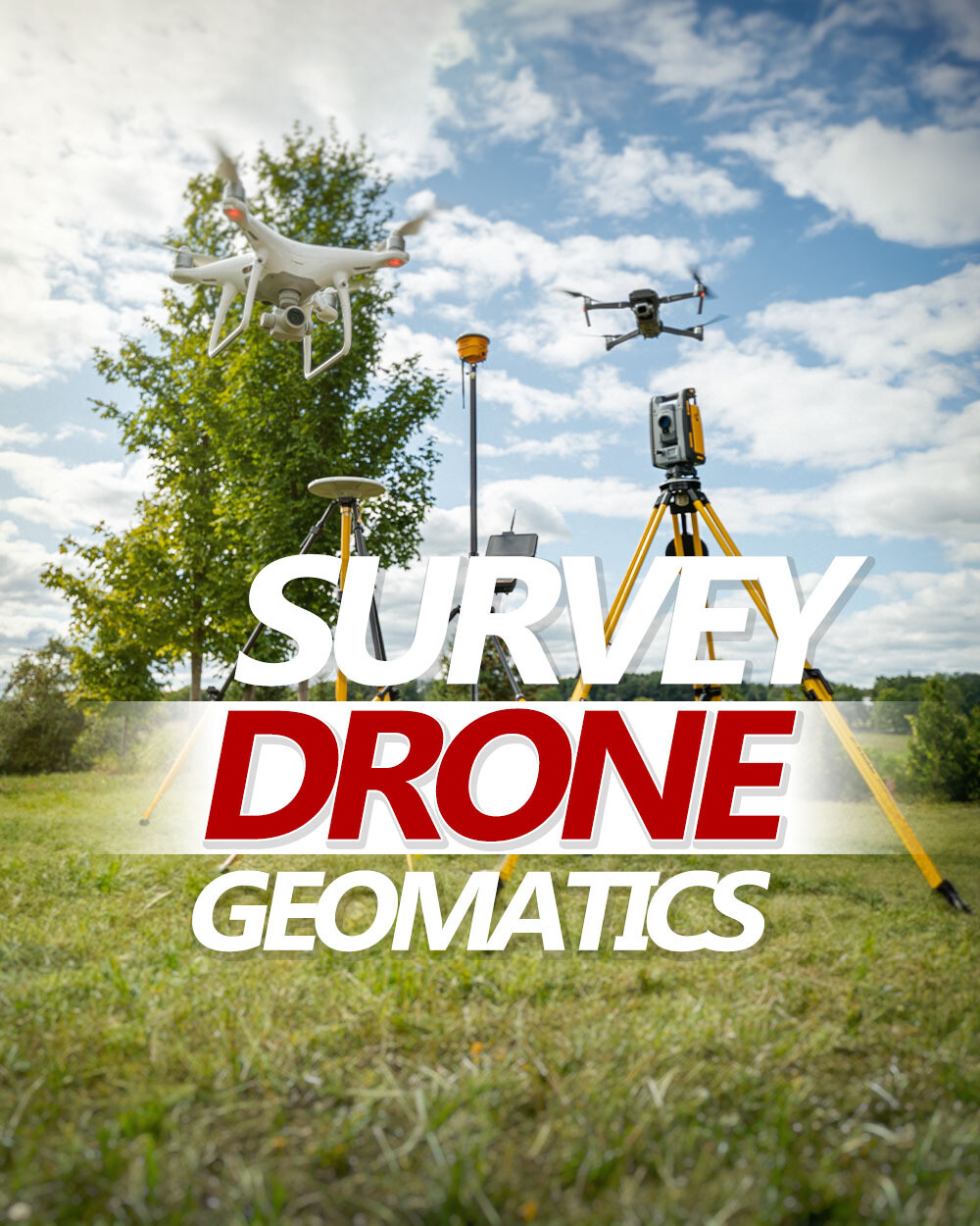
Intro to Drone Survey and Geomatics
CAD $59
This introductory drone survey course covers the collection, integration and management of geomatics data with drones.
In this course, students will define the process of drone survey, learn the equipment and software available, how to use the basic functions of survey equipment, software. Also understand the cost and profit of building a successful drone survey business.
In stock
Intro to Drone Survey and Geomatics
Display prices in:CAD

