DRONE OPERATIONS FOR MINERAL EXPLORATIONA REVOLUTION By EXPERT GEOPHYSICS
AlteX Client Success StoryDJI Flycart 30

By YIFEI ZHAO
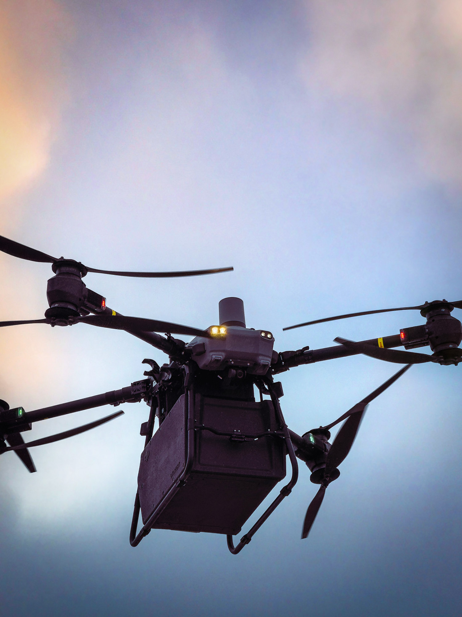
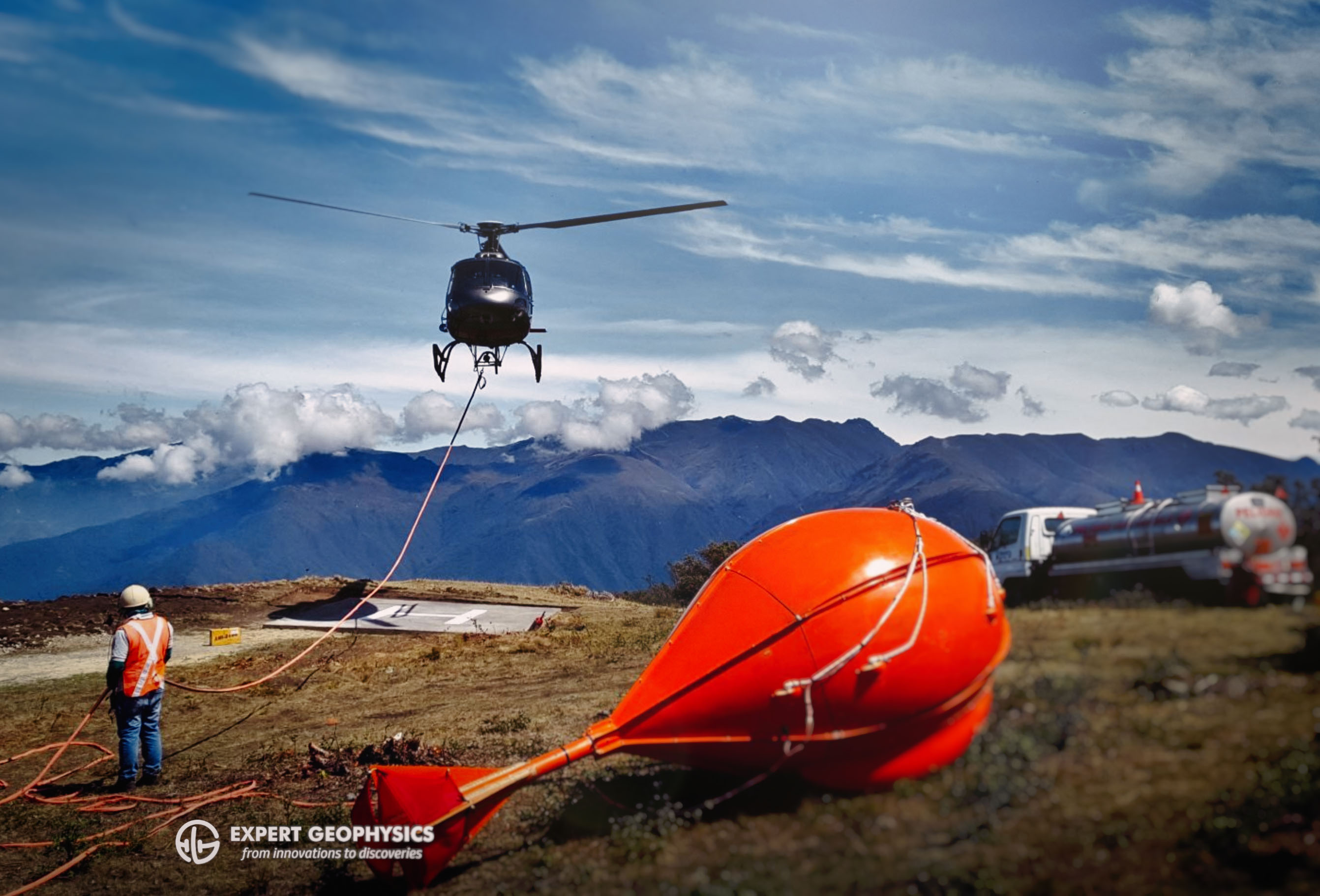
Expert Geophysics has long been a leader in geophysical space, and in 2024, they took a major step forward by implementing advanced drone technology with the DJI Flycart 30 into mineral explorations. Their latest innovation, the MobileMTd system, uses Flycart 30 equipped with electromagnetic sensors to collect high-resolution subsurface data—outperforming traditional heliborne systems in both resolution and accuracy.
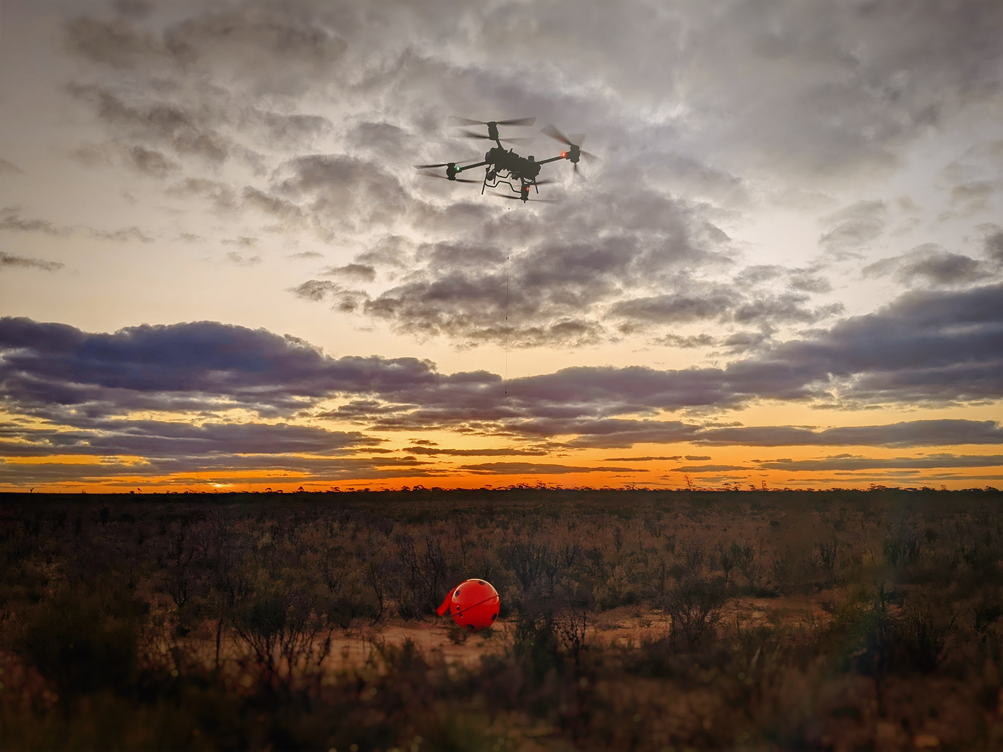
Successfully implementing drone technology in geophysics, however, takes more than just the right hardware. It requires a skilled team that can operate these complex systems safely, legally, and efficiently, especially when flying in challenging environments.
To meet that need, Expert Geophysics partnered with AlteX droneHUB to train their pilots on the DJI Flycart 30, a heavy-lift drone built for demanding industrial applications. Their team completed both Advanced Drone Pilot certification and DJI Enterprise Training, gaining the tools and confidence to expand their drone operations.
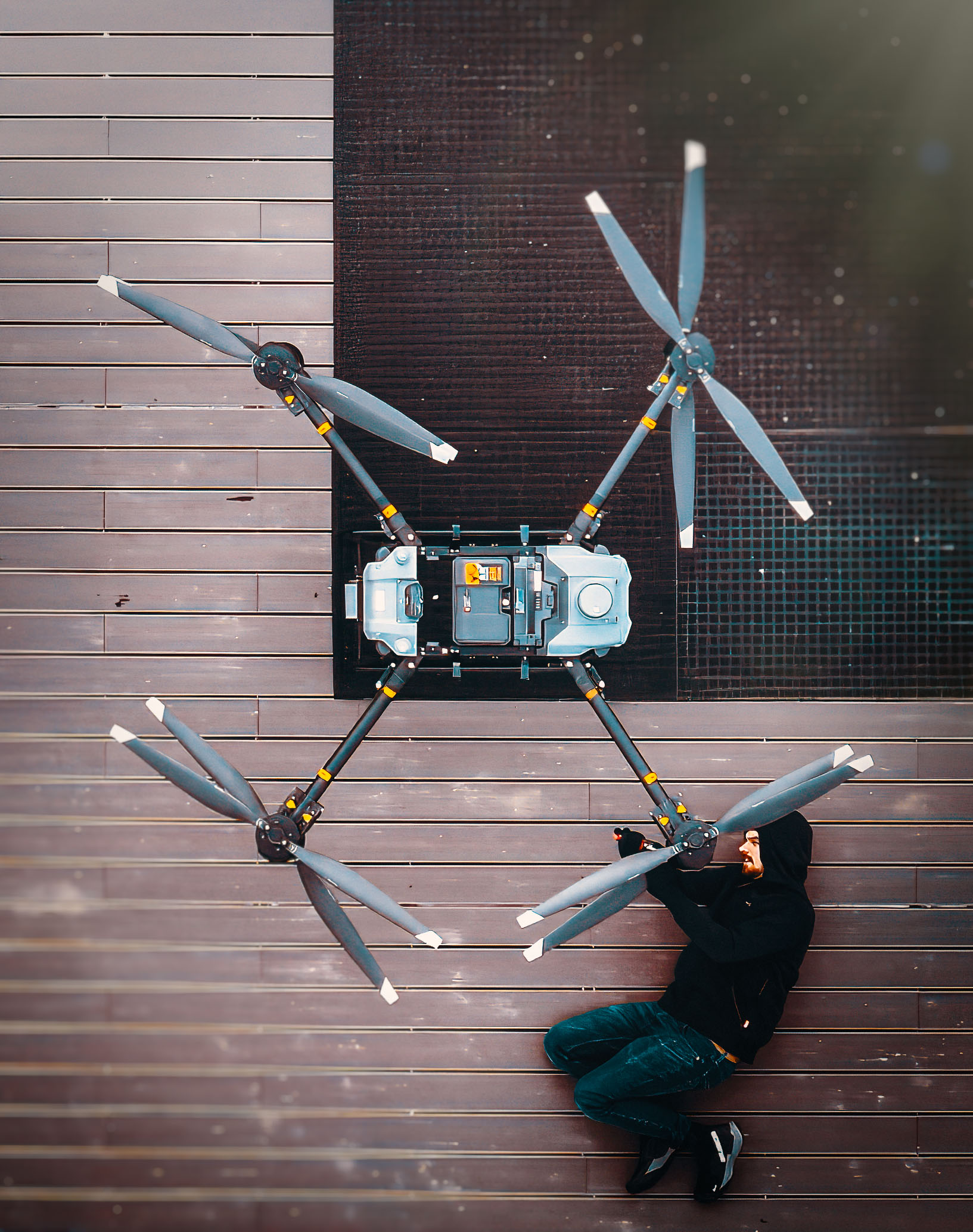
Here’s what Expert Geophysics shared with us after training:

Why Drone (RPAS) Solutions?
“The use of drone systems offers a range of advantages: they are cost-effective, efficient, and can operate in environments where traditional systems face limitations. Their flexibility and ability to work in low-light conditions make drones a compelling choice for modern subsurface exploration, enabling teams to cover large areas with increased precision and reduced noise resolving in a superior geophysical survey resolution.“
Our Experience with AlteX
“AlteX has been a valuable partner in enhancing our geophysical operations. Their solutions are flexible, safety-focused, and seamlessly complement drone systems by providing a high-performance approach to training both new pilots and experienced operators. We’ve seen firsthand how their training programs significantly improve operational efficiency, accuracy, and safety on the field.”
Why Professional Training Matters?
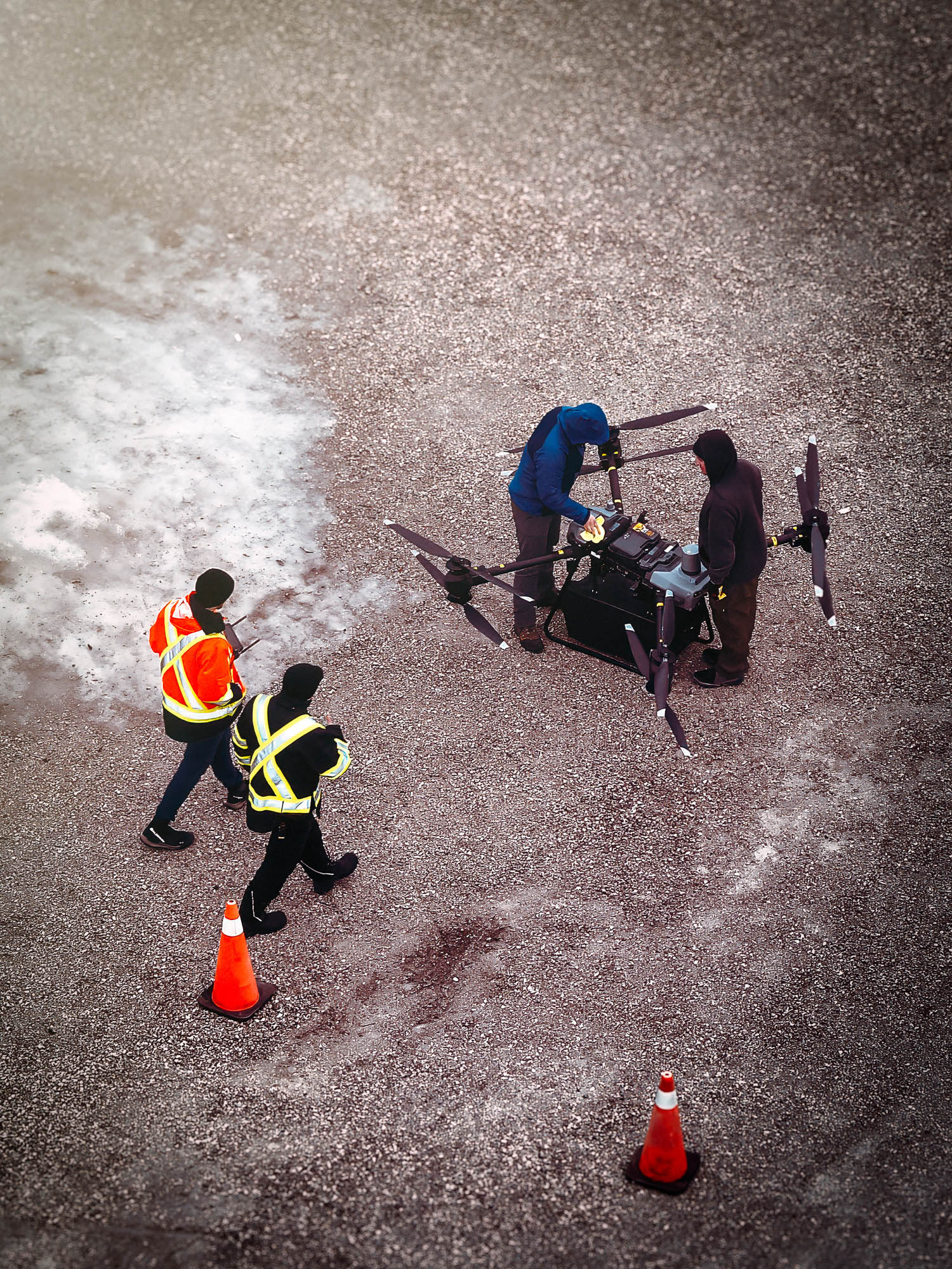
“Professional training is essential to ensure our team operates DJI enterprise systems at peak efficiency. It not only enhances technical proficiency but also improves safety, troubleshooting, and operational decision-making.
Given the complexity and investment involved in drone systems, proper training is crucial for success.”
Looking Ahead
Expert Geophysics continues to innovate. Their next steps include expanding their drone fleet, integrating new sensors tailored to specific tasks, and collaborating with developers to build a purpose-driven, long-range drone system for large-scale surveys. Ongoing training will remain a key focus as they scale their operations.

Expert Geophysics Team is Growing
If you’re a certified drone (RPAS) pilot looking for new opportunities in cutting-edge exploration,
check out their job posting.
A New Era of Exploration
Expert Geophysics’ implementation of drone (RPAS) technology, combined with professional training, marks a significant leap forward in mineral exploration. By pairing the precision of drone operations with natural field EM sensing, their MobileMTd system delivers unmatched depth, resolution, and versatility in the field.

Their story is a reminder that innovation doesn’t happen through technology alone, it’s driven by the people behind it, and the knowledge they carry into every flight.


